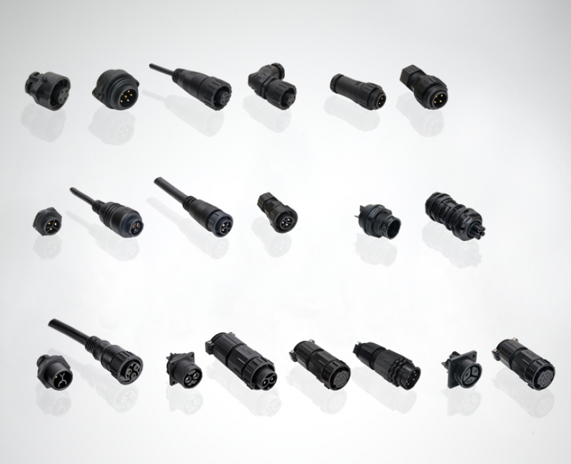
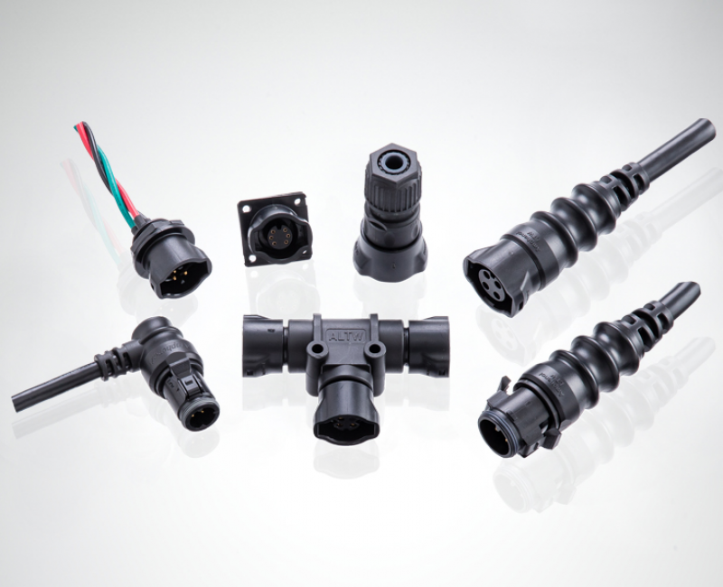
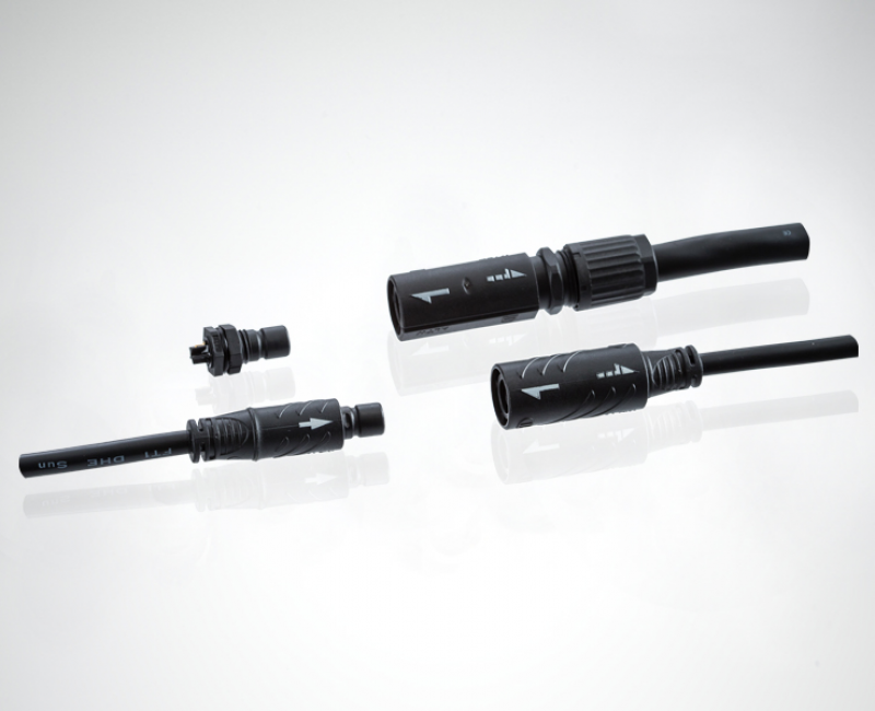
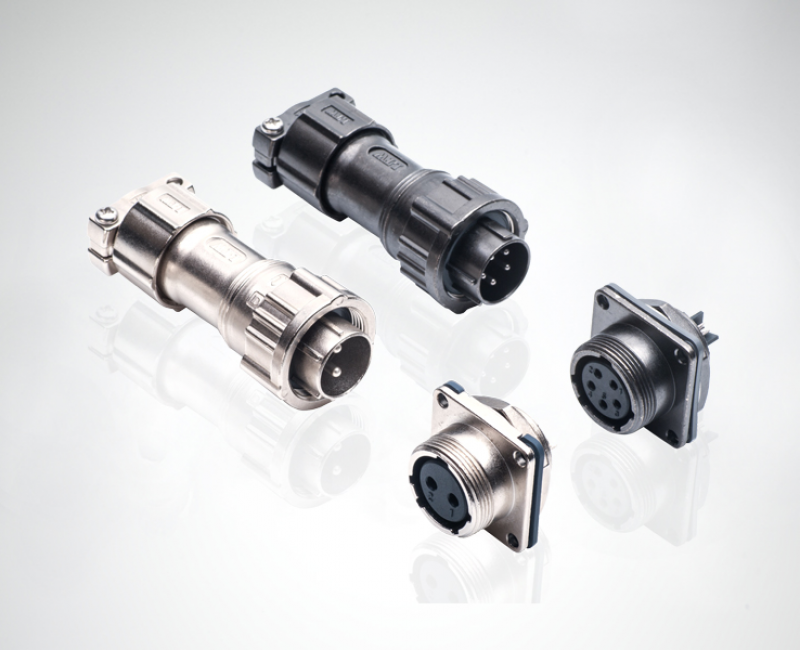
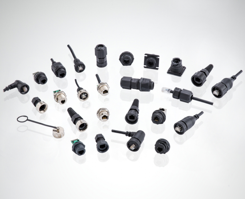
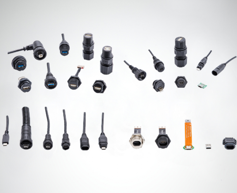
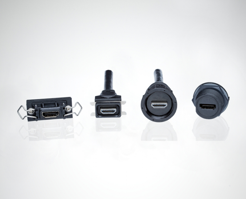
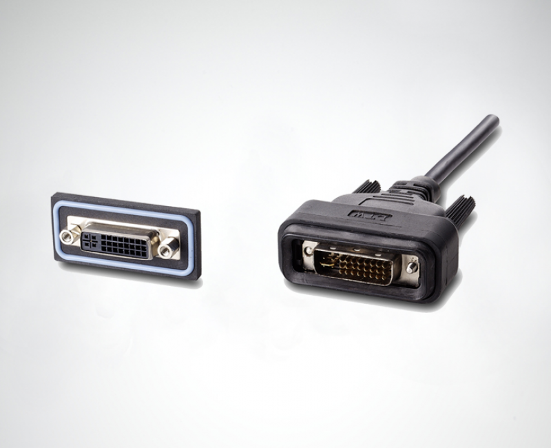
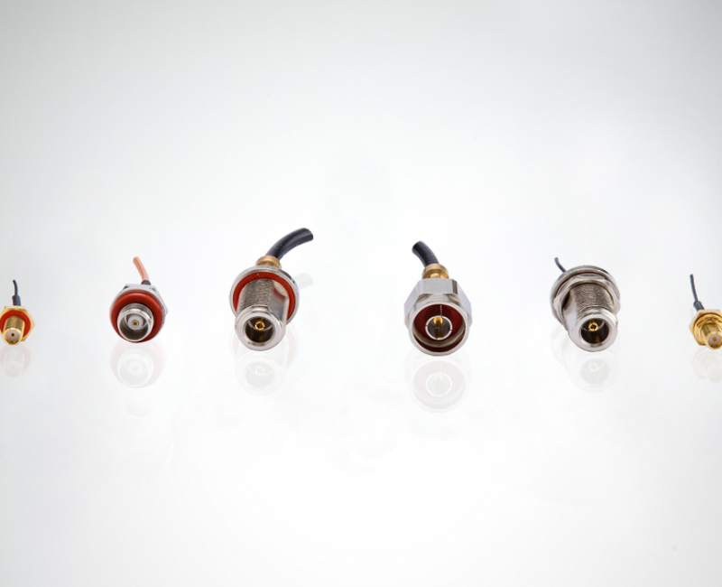
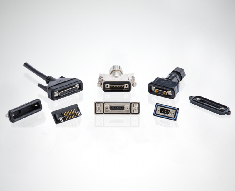
Different types of land surveying systems now adopt new technologies and are closely connected with UAV, laser scaning, sensors and data collecting. This collaboration of different technologies makes the land surveying more precise and visible. As a result of process precision surveying becomes a complex system of robust connections.

We use cookies on our website. Some of them are essential, while others help us improve this site and your experience. You can update your settings at any time.
Terms and Conditions .